Informationen
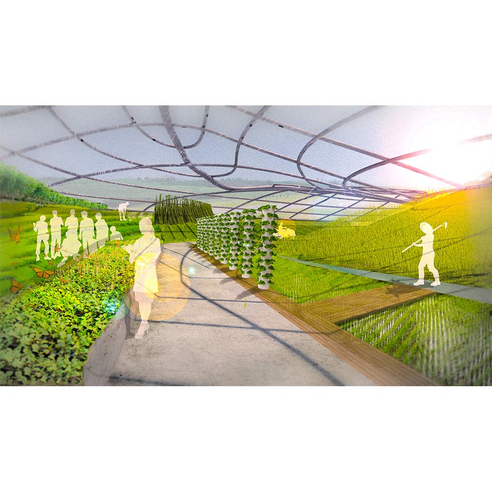
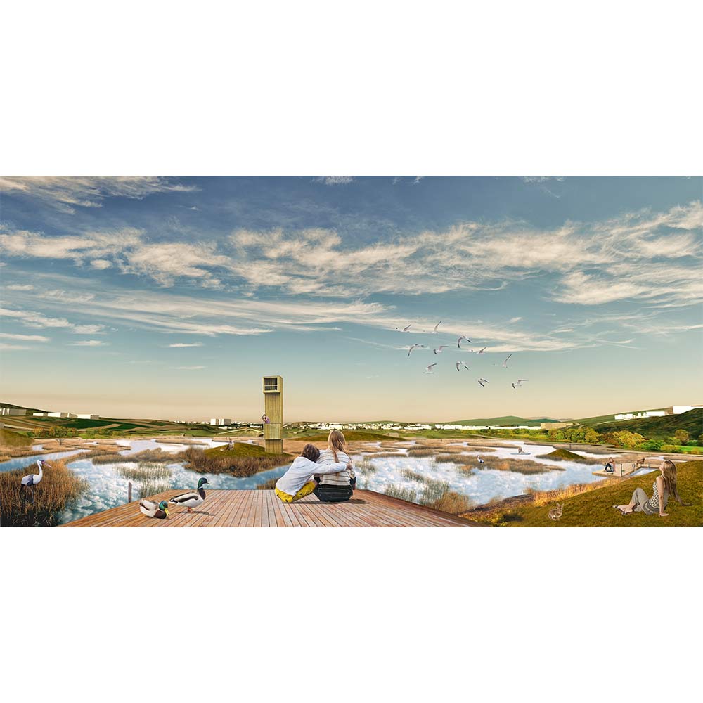
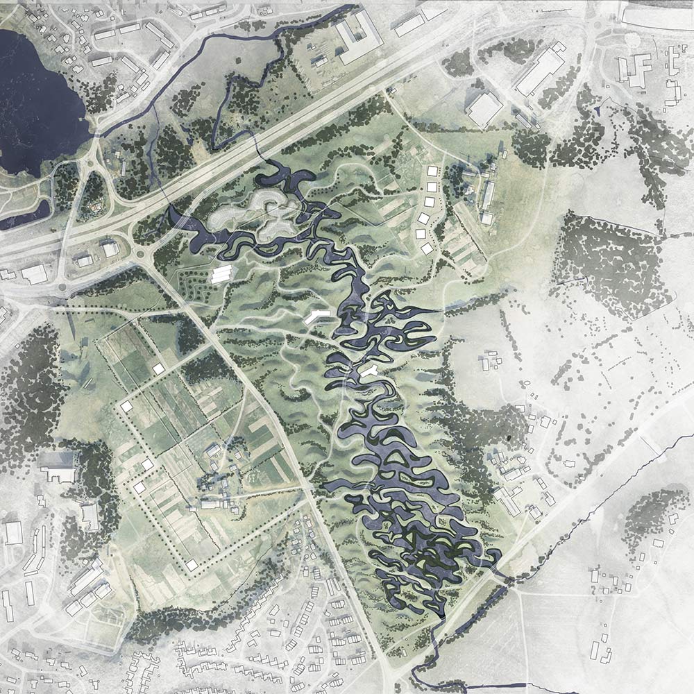
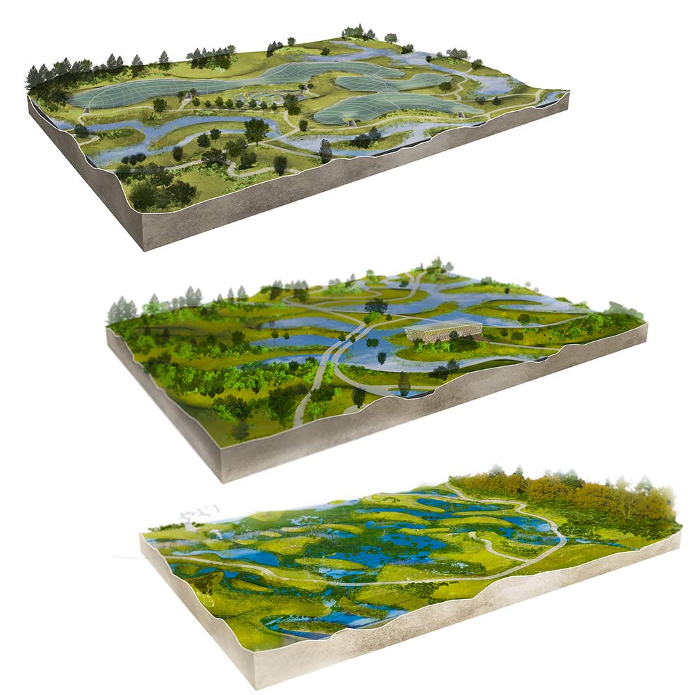
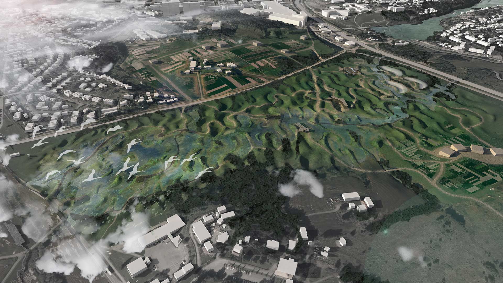
Lørenskog municipality is strategically located half-way between Oslo Center and Gardermoen airport. The town and its surroundings is characterized mostly as a 'bedroom community' with approx. 35.000 inhabitants and is prognosed to grow by 10.000 people until 2035. The type of development found in Lørenskog is typical of peri-urban towns, including heavy infrastructural lines, rural landscape and a big hospital. One of the most unique qualities of the area is the amount of agricultural land still in production, which is about 9% of the municipal area. The vast agricultural resource stretches Northeast all the way to the airport, crossing several other municiplaities. Lørenskog is also uniquely situated along major trunk lines of rail and highway, with strong, direct connections to the Oslo central area and the airport. It can be seen as the transitional zone between urban and rural life. As the demand for new housing in this growing community and suburban corridor is steadily rising, and most parts of the forest being “untouchable” for further expansion of the city, the agricultural areas are most likely the preferred spaces to be developed in the near future. If rising land prices outweigh the viability of regular agriculture, how can “landscape” be positioned to remain productive (or even preserved for farming) while simultaneously being used to structure the new areas of city expansion? Full presentation here